


Bei dieser Schitour handelt es sich um eine relativ leichte tour die sich auch in schneearmen Zeiten machen lässt da man bei 1700hm startet.
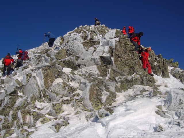
Man folgt im unteren Teil dem Sommerweg, verlässt diesen beim Scheibelsee und folgt dann dem Talbogen in Richtung SW. Vorbei and der grünen Lacke geht es in den Sattel zwischen großem- und kleinen Bösenstein. Dort ist in den meisten Fällen ein Schidepot angebracht, die letzten Meter zum Gipfel sind zu Fuß besser zu machen da es dort meist recht hart ist. Harscheisen sind in den meisten Fällen angebracht, da das letzte Stück bis in den Sattel meist auch recht Hart ist.
Man folgt im unteren Teil dem Sommerweg, verlässt diesen beim Scheibelsee und folgt dann dem Talbogen in Richtung SW. Vorbei and der grünen Lacke geht es in den Sattel zwischen großem- und kleinen Bösenstein. Dort ist in den meisten Fällen ein Schidepot angebracht, die letzten Meter zum Gipfel sind zu Fuß besser zu machen da es dort meist recht hart ist. Harscheisen sind in den meisten Fällen angebracht, da das letzte Stück bis in den Sattel meist auch recht Hart ist.
Tour gallery
Tour map and elevation profile
Minimum height 1659 m
Maximum height 2476 m
More about the tour author

|
guenther.rupitz |
Comments

Mit dem Auto über den Triebener Tauern bis Hohentauern, dort abzweigen. Der Weg zur Edelrautehütte ist ab Hohentauern durchgehend beschildert (ab dort Schotterstraße!)
GPS tracks
Trackpoints-
GPX / Garmin Map Source (gpx) download
-
TCX / Garmin Training Center® (tcx) download
-
CRS / Garmin Training Center® (crs) download
-
Google Earth (kml) download
-
G7ToWin (g7t) download
-
TTQV (trk) download
-
Overlay (ovl) download
-
Fugawi (txt) download
-
Kompass (DAV) Track (tk) download
-
Track data sheet (pdf) download
-
Original file of the author (gpx) download
More about the tour author
|
|
guenther.rupitz |
Add to my favorites
Remove from my favorites
Edit tags
Open track
My score
Rate