Login

Forgot your login?

Cookies have to be accepted!
Your browser's cookie functionality is disabled. Please enable this functionality.

Not a member yet?

Register now
Login

Available for registred users only

Log in to use this feature.

Forgot your login?

Cookies have to be accepted!
Your browser's cookie functionality is disabled. Please enable this functionality.

Not a member yet?

Register now
Filter
Categories
Advanced filters
  • Distance (km)
  • Height
Save filters Reset filter

TrackRank

QRCode

Technical data

Distance73,7 km Height1641 m Way down2126 m Duration06:00 h:m Date27.09.2016
Scores Author Landscape Fun factor Fitness Technique

Statistics

394 Views Scores 65 Downloads Average
Rate
  • Track data sheet
  • Directions
  • Downloads
Bei der Anreise mit dem Railjet unbedingt rechtzeitig eine Stellplatzreservierung fürs MTB buchen.
Es gibt nur 5 Plätze pro Zug!
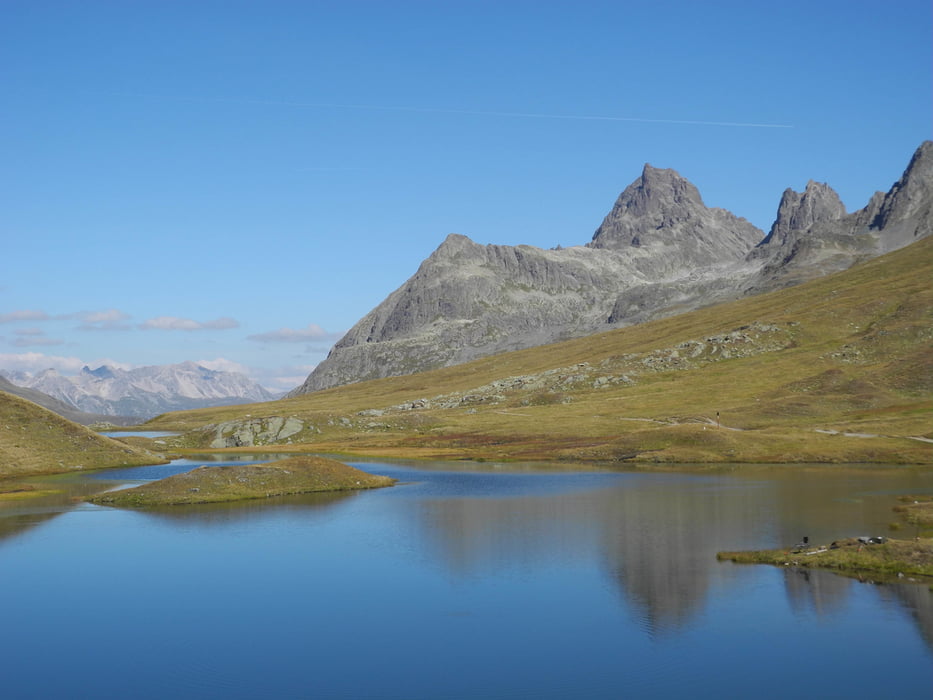
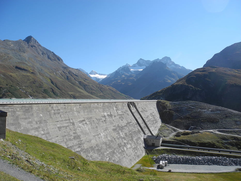
Tour gallery

Tour map and elevation profile

  • Open Street Map
  • Google
Minimum height 686 m Maximum height 2315 m Detailed view

More about the tour author

xlink
Member since 2010

Send private message

Comments

GPS tracks

Trackpoints
  • GPX / Garmin Map Source (gpx) download
  • TCX / Garmin Training Center® (tcx) download
  • CRS / Garmin Training Center® (crs) download
  • Google Earth (kml) download
  • G7ToWin (g7t) download
  • TTQV (trk) download
  • Overlay (ovl) download
  • Fugawi (txt) download
  • Kompass (DAV) Track (tk) download
  • Track data sheet (pdf) download
  • Original file of the author (gpx) download

More about the tour author

xlink
Member since 2010

Send private message
Share track
Add to my favorites
Remove from my favorites
Edit tags
My score
Rate
Track: St. Anton - Heilbronner Hütte - Zeinisjoch - Bieler Höhe - Schruns
Type: Mountain bike
Distance: 73,7 km
Evaluated on:
Duration:
Day(s)
Hour(s)
Minute(s)
Score: Landscape Fun factor Fitness Technique