Login

Forgot your login?

Cookies have to be accepted!
Your browser's cookie functionality is disabled. Please enable this functionality.

Not a member yet?

Register now
Login

Available for registred users only

Log in to use this feature.

Forgot your login?

Cookies have to be accepted!
Your browser's cookie functionality is disabled. Please enable this functionality.

Not a member yet?

Register now
Filter
Categories
Advanced filters
  • Distance (km)
  • Height
Save filters Reset filter

TrackRank

QRCode

Technical data

Distance33,1 km Height1095 m Way down1099 m Duration04:00 h:m Date06.10.2015
Scores Author Landscape Fun factor Fitness Technique

Statistics

810 Views Scores 264 Downloads Average
Rate
  • Track data sheet
  • Directions
  • Downloads
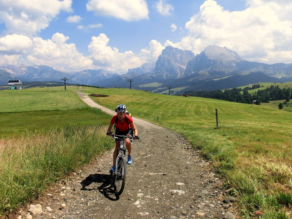
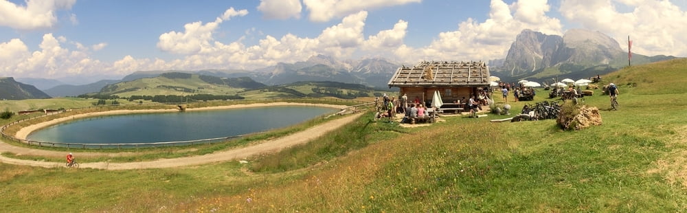
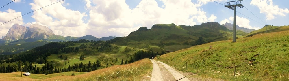
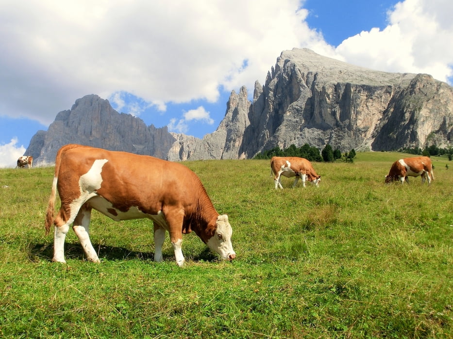
Seiser Alm - da geht einem echt das Biker Herz auf. Wir starteten erst oben an der Monte Pana Bergstation. Mein Smartphone errechnete 1273 hm, gps tour info nur 1095. Zahlreiche nette Einkehrmöglichkeiten unterwegs.

Tour gallery

Tour map and elevation profile

  • Open Street Map
  • Google
Minimum height 1617 m Maximum height 2084 m Detailed view

More about the tour author

mackator
Member since 2012

Send private message

Comments

Parkplatz an der Monte Pana Bergstation


GPS tracks

Trackpoints
  • GPX / Garmin Map Source (gpx) download
  • TCX / Garmin Training Center® (tcx) download
  • CRS / Garmin Training Center® (crs) download
  • Google Earth (kml) download
  • G7ToWin (g7t) download
  • TTQV (trk) download
  • Overlay (ovl) download
  • Fugawi (txt) download
  • Kompass (DAV) Track (tk) download
  • Track data sheet (pdf) download
  • Original file of the author (gpx) download

More about the tour author

mackator
Member since 2012

Send private message
Share track
Add to my favorites
Remove from my favorites
Edit tags
My score
Rate
Track: Seiser Alm Hütten Tour
Type: Mountain bike
Distance: 33,1 km
Evaluated on:
Duration:
Day(s)
Hour(s)
Minute(s)
Score: Landscape Fun factor Fitness Technique